Known as the Red Desert of the Azores, Barreiro da Faneca never ceases to amaze visitors who dare to explore it, thanks to its atypical, arid, clayey, red landscape. This is the only place in the whole archipelago where you can see this occurrence.
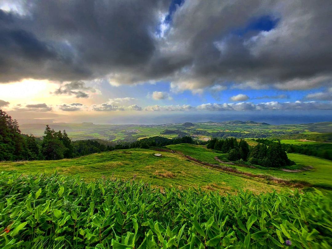
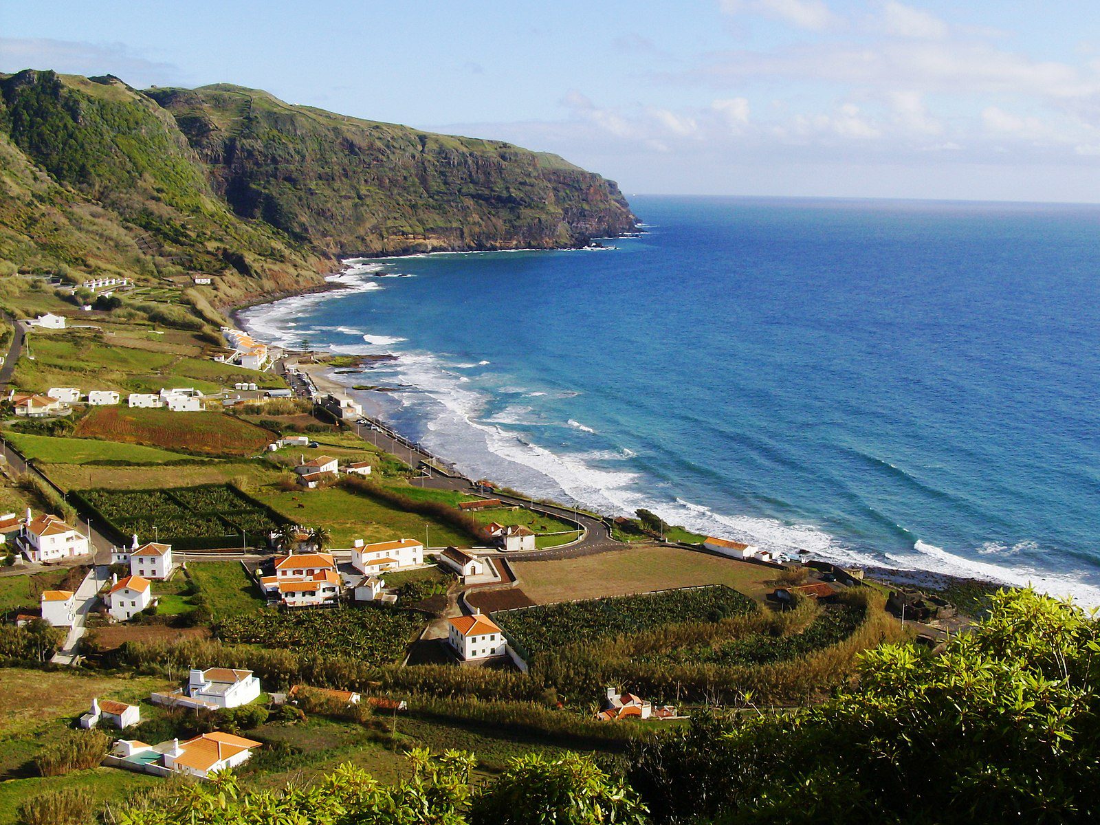
The Protected Landscape of Barreiro da Faneca is a geological wonder located in Santa Maria. The island is located at the South-East end of the Azores archipelago. This place is located in the middle of a forest, which adds to its beauty.
One thing is for sure: if you are visiting Yellow Island, you should definitely consider a trip to Barreiro da Faneca and a run through the red desert. Discover more about this fascinating natural setting in this ultimate guide.
What is Barreiro da Faneca?

Barreiro da Faneca belongs to the geological area of “Formação de Feteiras” and is a protected landscape. The red desert is not only unique in the Azores, but also in Portugal. It is located about 200 meters above sea level and covers about 835 hectares.
Did you know
It all began with an old basaltic lava flow, which was then covered with volcanic ashes. Then, the geological formations changed over time, mostly due to the hot, wet climate of the late Pliocene era (about 3.6 to 2.6 million years ago), turning the soil into red clay.
The red desert, with its wavy terrain shaped by rainwater erosion, is one of the most visited geosites on Santa Maria Island. It is important to preserve it. That is why there are cutting operations to avoid the surrounding vegetation to cover its iconic soil. You can still observe endemic flora such as Picconia azorica, Hypericum foliosum, Laurus azorica, and Erica azorica (urze), among others.
Plan Your Visit to Barreiro da Faneca

How to get to Barreiro da Faneca
The Protected Landscape of Barreiro da Faneca belongs to the town of São Pedro, Vila do Porto county, Santa Maria. Once you arrive on the island, at Vila do Porto by boat, or by plane, you can rent a car or take a taxi to reach the red desert. Drive to São Pedro on the main road (EN1-2A), and then towards the north until you reach it.
It is also possible to explore this hidden gem by walking the Costa Norte route (PR01SMA) or the Great Route of Santa Maria (GR01SMA). The trails are official and well-marked. Plus, you will see many other places not accessible by car.
Best Time to Visit
You can visit Barreiro da Faneca at any time of day. If you are traveling during the high season (July and August) and want to have the place to yourself, we recommend going early in the morning or late in the afternoon. It is also a great place to stop and have a picnic. Make sure you do not leave anything behind you and leave the place as clean as you found it.
Check all our articles about the weather in the Azores throughout the year 🌤️ ☔️: January | February | March | April | May | June | July | August | September | October | November | December
Pro Tips
If you want to hike to Barreiro da Faneca, then take adequate hiking boots and comfortable clothes. Be prepared for any weather, as the Azores experience all four seasons in a single day. In the Red Desert, there is little elevation, but the soil is bumpy, with small ravines. Always be careful walking in nature.
Azores Guide Book
Azorean Language & Phrases 🗣️ | Currency & Banks 💵 | Credit Cards & Traveler’s Cheques 🏧 | Driving in the Azores 🚗 | Electricity 🔌 | Experiences & Tours 🗺️ | Health & Safety 🩺 | Internet & Wi-Fi Access 🛜 | Phones & Mobile Service 📞 | Post Offices & Buying Stamps ✉️ | Public Holidays 🏖️ | Shopping 🛒 | Time & Daylight 🕒 | Whale Watching Guide 🐳 | Best Island to Visit 🏞️
Nearby Attractions
Baía dos Anjos

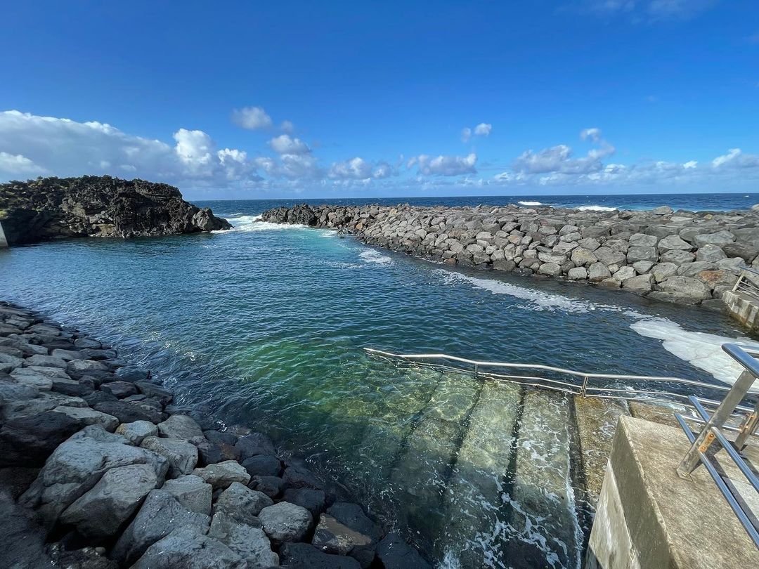
Baía dos Anjos in Santa Maria island is a very popular swimming area in the summer. There is a famous natural pool that is enclosed by lava rocks, perfect for a relaxing dip in the Atlantic Ocean. There, you can find dressing rooms and toilets for your comfort. It is considered one of the best natural pools in Santa Maria.
Located on the North coast of Santa Maria island, known for its beautiful beaches and sunny days, “Angel’s Bay” is also an important stop for migratory birds from all over the world, which has led to the classification of Baía dos Anjos as a Natural and Ecological Reserve.
Take a stroll in the small village, swim in the crystal clear waters, and watch some birds fly away!
Pico Alto

Pico Alto is the highest point on Santa Maria Island, at about 586 meters above sea level. This is a great place to have a panoramic view of the Yellow Island. It is located roughly in the center of the island and divides the east, which is more mountainous, from the west, which is flatter.
This protected area covers about 121 hectares and features the typical Laurel Forest, endemic to the Azores, with species such as Laurus azorica, Ilex azorica, Vaccinium cylindraceum, and more!
There are two trails going to Pico Alto:
- PRC02SMA, which is 6.2 km for about 2 hours of hiking,
- and the Great Route of Santa Maria (GR01SMA), which is 78.6 km in total.
Poço da Pedreira

Located near the famous São Lourenço beach, Poço da Pedreira is a small pond with beautiful red walls rising from it, their top covered in vegetation. This was an old aggregate extraction zone inside a slag cone named Pico Vermelho. The stones extracted from this site were used in numerous constructions around the islands and were also exported to other islands within the archipelago. The color of the wall behind the pond is related to the age of this geological formation. About the pond itself, it was just a hole in the ground that filled with water over time.
Nowadays, this is an iconic attraction on Santa Maria Island, creating a wonderful backdrop for cool pictures. It is possible to see it by car or by walking the PRC3SMA trail between the mountains and the ocean.
Baía de São Lourenço

São Lourenço Bay hosts one of the most beautiful coastal scenarios of the entire Azorean archipelago. The bay was naturally formed by a volcanic crater, creating this amphitheater shape.
Inside the bay, there is a small village, one of the very few yellow-sanded beaches of the archipelago, and there is also a natural pool. The whole scenery is surrounded by hills covered in vineyards, creating a beautiful contrast between the blue of the ocean, the green of the vines, and the yellow of the sand.
Locals and tourists love to explore its clear waters with snorkelling gear, as the bay offers calm seas with almost no waves. It was once, upon a time, a safe harbor for ships until the 20th century.
Check all our articles about each one of the most relevant points of interest on Santa Maria Island: Praia Formosa | Barreiro da Faneca | Cascata do Aveiro | Miradouro Vigia da Baleia
Complementary Information
Best Season to Visit the Azores
The Azores Archipelago boasts a unique climate that shapes its lush landscapes, making it a splendid year-round destination. With mild temperatures and minimal fluctuations, each season offers something unique. Spring averages 16 °C, summer reaches 21 °C, autumn cools to 18 °C, and winter remains mild at 14 °C.
→ For a detailed breakdown of the weather by month, check the following links 🌤️☔️: January | February | March | April | May | June | July | August | September | October | November | December
How to Get to the Azores
The Azorean Archipelago is easily accessible through numerous flight routes. Lisbon and Porto are the main entry points to the continent, with direct flights available to São Miguel (PDL), Terceira (TER), Faial (HOR), Pico (PIX), and Santa Maria (SMA). To find the best flight, use search engines like eDreams or Skyscanner. These platforms let you compare prices and schedules from multiple airlines in one convenient location.
For more details on how to get to the Azores, take a look at our complete guide. But what if you want to explore beyond your arrival island? We’ve got you covered!
- Azores airports 🛬
- Flights between islands ✈️
- Ferries between islands ⛴️
- Which island to choose? 🏝️
- What airlines fly to the Azores? 🛩️
→ Once you’ve found the perfect route, book your tickets and get ready to experience one of the world’s most stunning island groups!
Travel Essentials
Essential Information for your Azores trip: Azorean Language & Phrases 🗣️ | Currency & Banks 💵 | Credit Cards & Traveler’s Cheques 🏧 | Driving in the Azores 🚗 | Electricity 🔌 | Experiences & Tours 🗺️ | Health & Safety 🩺 | Internet & Wi-Fi Access 🛜 | Phones & Mobile Service 📞 | Post Offices & Buying Stamps ✉️ | Public Holidays 🏖️ | Shopping 🛒 | Time & Daylight 🕒 | Whale Watching Guide 🐳 | Best Island to Visit 🏞️
Useful Tools & Apps
The weather in the Azores can be variable, so it’s helpful to use some apps before visiting the islands. Spotazores provides live camera feeds from the main tourist attractions, allowing you to check the weather and plan your visit. For accurate weather predictions, use Windy or Windguru — they provide the most reliable predictions.
Video
Conclusion
Barreiro da Faneca is definitely a place you would want to add to your “must-see” list in Santa Maria Island. If you are planning a trip to the Azores but are unsure which island to choose, we cannot help you since each of the nine islands is unique and worth visiting.
However, if you’ve already booked your plane ticket to Ponta Delgada, São Miguel (the largest island), and have only a week or so to travel, a visit to Santa Maria — the closest one — is a good idea to cover two islands in one trip.
The red desert awaits!


