
Il Pico Alto, letteralmente tradotto in Picco Alto, è il punto più alto di Santa Maria, una delle 9 isole delle Azzorre. L'altitudine raggiunge i 587 metri sul livello del mare, ovvero 1.925 piedi. Da lassù si può godere di una delle più belle viste sull'isola di Santa Maria, con i suoi verdi pascoli, le macchie di vegetazione, alcuni villaggi pittoreschi, la costa e l'infinito Oceano Atlantico.
Scoprite di più su questo bellissimo luogo. Come andare, cosa fare e altri fatti storici su questa visita imperdibile durante la vostra vacanza sull'Isola Gialla.
Che cos'è Pico Alto?

Il Pico Alto è la montagna più alta di Santa Maria, l'isola del sole. È il risultato di una fase di intenso vulcanismo creato da eruzioni sottomarine circa 5 milioni di anni fa. Questo singolare picco dell'isola cattura le nuvole, creando un'area umida con una vegetazione lussureggiante.
In quest'area si incontra la vegetazione autoctona reintrodotta dalle autorità, come l'erica delle Azzorre (Vaccinium cylindraceum) e l'alloro delle Azzorre (Laurus azorica). Per quanto riguarda la fauna, è possibile osservare molti uccelli nelle vicinanze. Osservate il famoso e mini Regulus regulus sanctaemariae, una sottospecie endemica presente solo a Santa Maria. Ci sono alcuni artropodi unici come Athous pomboi, Donus multifidus, Tarphius pomboi o Tarphius serranoi.
Lo sapevate che
A Pico Alto sono già precipitati tre aerei diversi: un Douglas C-54 nel 1945, un Piper Aztec nel 1964 e un Boeing 707-300 nel 1989. Sul sentiero intorno alla vetta si trova un monumento in onore dei 144 passeggeri morti durante l'incidente.
Pianifica la tua visita a Pico Alto

Come arrivare a Pico Alto
Pico Alto si trova nella parrocchia di Santa Bárbara, sull'isola di Santa Maria. Da Vila do Porto, la città principale dell'isola di Santa Maria, prendere un'auto a noleggio o un taxi seguendo la strada principale (EN1-2A) verso est fino ad attraversare il villaggio di Almagreira. Una volta usciti dal villaggio, prendere la strada secondaria sulla sinistra fino a raggiungere il parcheggio. In totale, ci vogliono circa 17 minuti in auto per percorrere 10 km da Vila do Porto.
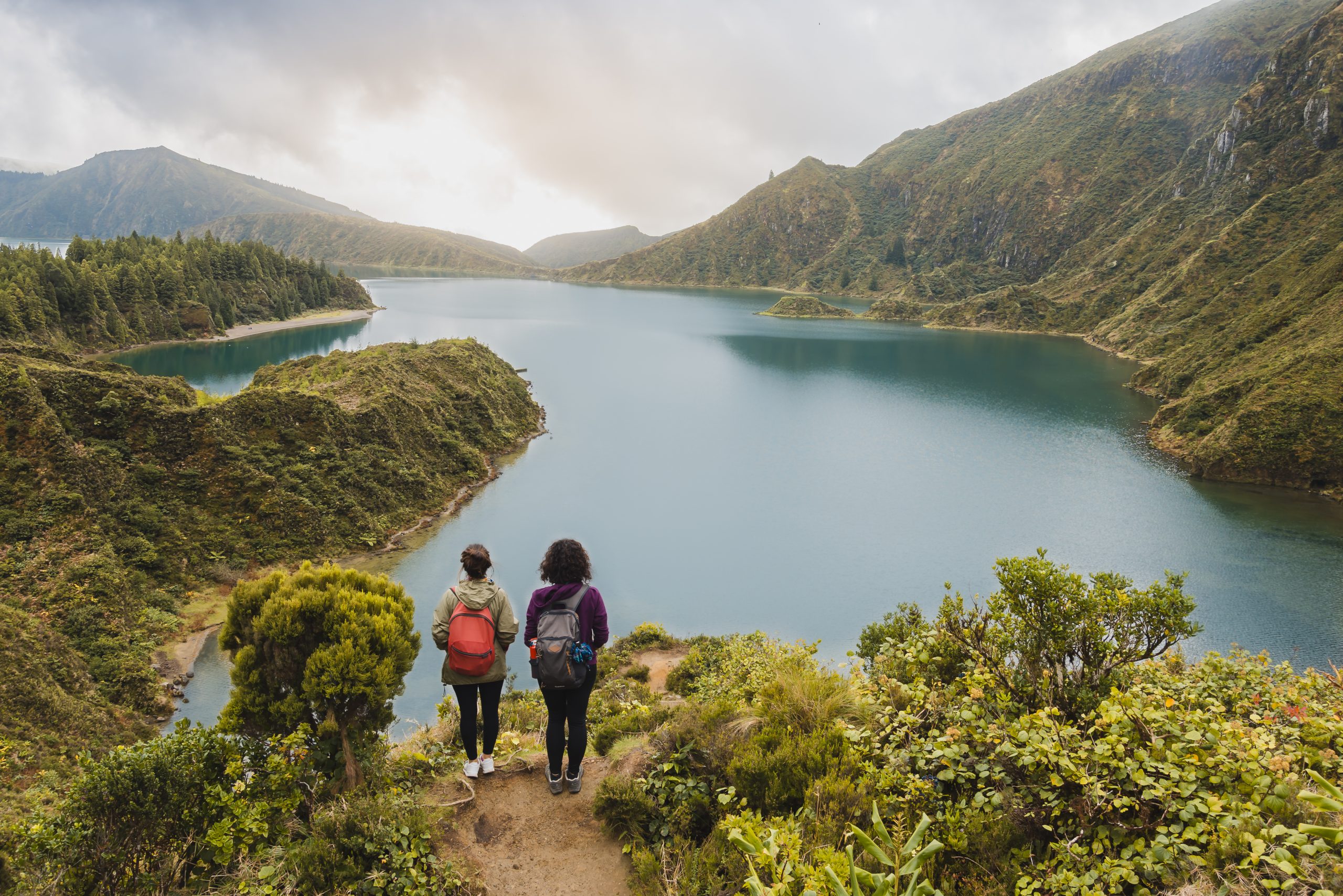
Nei dintorni di Pico Alto, il sentiero escursionistico PRC02 SMA offre un modo per esplorare la zona a piedi. Si tratta di un anello di 6,2 km, di media difficoltà, che richiede circa 2 ore di cammino. Un altro ottimo modo per esplorare Pico Alto.
State programmando un viaggio alle Azzorre? Questi articoli vi aiuteranno: Come raggiungere le Azzorre 🗺️ | Aeroporti delle Azzorre 🛬 | Voli tra le isole ✈️ | Traghetti tra le isole ⛴️ | Quale isola scegliere? 🏝️ | Quali compagnie aeree volano sulle Azzorre? 🛩️
Il momento migliore per visitarlo
Il momento migliore per visitare il Pico Alto di Santa Maria dipende da come si intende raggiungerlo. Se si viaggia in auto, la passeggiata fino alla cima è piuttosto breve, quindi si può andare praticamente a qualsiasi ora del giorno. Tuttavia, se avete intenzione di fare un'escursione, iniziate la mattina o il primo pomeriggio per gestire il vostro tempo in modo confortevole. Cercate di partire al mattino per evitare il caldo di mezzogiorno e completate l'escursione prima del tramonto per sicurezza.
Consulta tutti i nostri articoli sul clima delle Azzorre durante tutto l'anno 🌤️ ☔️: Gennaio | Febbraio | Marzo | Aprile | Maggio | Giugno | Luglio | Agosto | Settembre | Ottobre | Novembre | Dicembreember
Suggerimenti per i professionisti

Per gli escursionisti, ricordate di portare con voi acqua, snack, giacca antipioggia, cappello e crema solare, a seconda del tempo. Anche se non si tratta di un sentiero difficile, è necessario indossare scarpe da trekking adeguate e vestirsi a strati.
Inoltre, non perdetevi le casematte di Pico Alto, un tocco storico alla vostra visita alla vetta più alta dell'isola. L'aeronautica militare portoghese costruì queste strutture nel 1956, durante la guerra fredda a seguito del Patto di Varsavia. Il sito fu progettato appositamente per ospitare una nuova stazione radar. Anche se oggi non sono pienamente operative, servono per la trasmissione radio.
Libro guida delle Azzorre
Lingua e frasi delle Azzorre 🗣️ | Valuta e banche 💵 | Carte di credito e assegni di viaggio 🏧 | Guidare nelle Azzorre 🚗 | Elettricità 🔌 | Esperienze e tour 🗺️ | Salute e sicurezza 🩺 | Accesso a Internet e Wi-Fi 🛜 | Telefoni e servizi mobili 📞 | Uffici postali e acquisto di francobolli ✉️ | Giorni festivi 🏖️ | Shopping 🛒 | Ora e luce del giorno 🕒 | Guida all'osservazione delle balene 🐳 | L'isola migliore da visitare 🏞️
Attrazioni nelle vicinanze
Praia de São Lourenço

Praia de São Lourenço, sulla costa nord-orientale di Santa Maria, è una delle principali attrazioni dell'isola, formata da un cratere vulcanico semicircolare che ora forma una pittoresca baia. Circondata da tradizionali vigneti a terrazze costruiti in pietra basaltica, questa spiaggia è assolutamente iconica.
È una delle poche spiagge di sabbia chiara delle Azzorre. Le sue acque cristalline e solitamente calme la rendono ideale per nuotare, fare snorkeling e rilassarsi. È inoltre dotata di una piscina naturale, un luogo tranquillo e panoramico per fare il bagno, ideale per i bambini.
Praia de São Lourenço offre eccellenti infrastrutture per tutti i visitatori. L'area della spiaggia offre servizi igienici, docce, parcheggio e persino un bar locale. Il Miradouro de São Lourenço garantisce una vista panoramica da cartolina da non perdere.
→ Articolo correlato: Le migliori spiagge delle Azzorre. Per saperne di più!
Barreiro da Faneca

Barreiro da Faneca, sul versante settentrionale di Santa Maria, è un fenomeno geologico unico nel suo genere. Gli abitanti del luogo chiamano spesso quest'area protetta il ‘Deserto Rosso delle Azzorre". Un terreno arido e ricco di argilla con intense tonalità di rosso e arancione definisce il carattere del paesaggio. Il paesaggio è ondulato e sembra un pianeta completamente diverso.
A seconda dell'ora del giorno e della stagione dell'anno, si può godere del deserto quasi da soli, poiché molte persone si recano a Santa Maria per trascorrere del tempo in spiaggia. Inoltre, si tratta di un'area piuttosto piccola, quindi una volta ammirate le rosse colline e scattate molte foto, non c'è molto altro da fare.
Barreiro da Faneca è facilmente raggiungibile in auto, grazie a una strada che vi conduce. In alternativa, i visitatori possono esplorare percorsi a piedi come il sentiero della Costa Norte (PR01SMA) o parti del percorso a lunga distanza dell'isola (GR01SMA), che attraversano il paesaggio di argilla rossa.
Vila do Porto

Vila do Porto è il capoluogo dell'isola di Santa Maria e si trova nella parrocchia e nel comune omonimi. Fondata nel 1432 da Gonçalo Velho Cabral, Vila do Porto è stata la prima città dell'arcipelago delle Azzorre. Tuttavia, i coloni fondarono il comune di Vila do Porto nel 1470. Cinque parrocchie: Almagreira, Santa Bárbara, Santo Espírito, São Pedro e Vila do Porto - suddividono il comune.
Quindi, se siete di passaggio sull'isola, assicuratevi di visitare le principali attrazioni di Vila do Porto, come ad esempio:
- Miradouro de São Lourenço;
- Pico Alto;
- Faro di Gonçalo Velho;
- Baía da Raposo;
- Grotta di Figueiral;
- Baía dos Anjos;
- Tra gli altri.
Pstate progettando il vostro viaggio alle Azzorre? ✨ Scoprite la nostra guida completa a Giorni festivi nelle Azzorre 2025: Elenco completo e guida di viaggio
Praia Formosa

Praia Formosa si trova sulla costa meridionale di Santa Maria. È famosa per essere una delle poche spiagge delle Azzorre con sabbia chiara che si estende per circa 1 chilometro.
Le acque di Praia Formosa sono eccezionalmente limpide, calde e poco profonde, ideali per nuotare e fare snorkeling. La temperatura dell'acqua è adatta alla balneazione tutto l'anno. Dal Miradouro da Macela si può ammirare il panorama della spiaggia, della baia e della costa circostante.
La qualità dell'acqua e le sue strutture ottengono ogni anno la Bandiera Blu. La spiaggia offre un'eccellente attrezzatura per tutti i visitatori, compresi parcheggi, docce e servizi igienici. Un ristorante, bagnini stagionali e la piena accessibilità per le persone con problemi di mobilità completano i servizi. A un'estremità della spiaggia si trova anche un campeggio che offre alloggi economici con accesso diretto alla sabbia.
Praia Formosa si trova a circa 10 minuti di auto da Vila do Porto, con facile accesso. In Agosto, Praia Formosa ospita il Festival Maré de Agosto. L'evento, che si tiene ogni anno dal 1984, attira molte persone da Santa Maria e da altre isole.
Consultate tutti i nostri articoli sui punti di interesse più rilevanti dell'Isola di Santa Maria: Praia Formosa | Barreiro da Faneca | Cascata di Aveiro | Miradouro Vigia da Baleia | Pico Alto
Informazioni complementari
La stagione migliore per visitare le Azzorre
L'arcipelago delle Azzorre vanta un clima unico che modella i suoi paesaggi lussureggianti, rendendolo una splendida destinazione per tutto l'anno. Con temperature miti e oscillazioni minime, ogni stagione offre qualcosa di unico. La primavera ha una media di 16 °C, l'estate raggiunge i 21 °C, l'autunno si raffredda fino a 18 °C e l'inverno rimane mite, con 14 °C.
→ Per una ripartizione dettagliata del tempo per mese, consultare i seguenti link 🌤️☔️: Gennaio | Febbraio | Marzo | Aprile | Maggio | Giugno | Luglio | Agosto | Settembre | Ottobre | Novembre | Dicembreember
Come raggiungere le Azzorre
L'arcipelago delle Azzorre è facilmente raggiungibile attraverso numerose rotte aeree. Lisbona e Porto sono i principali punti d'ingresso al continente, con voli diretti per São Miguel (PDL), Terceira (TER), Faial (HOR), Pico (PIX) e Santa Maria (SMA). Per trovare il volo migliore, utilizzare motori di ricerca come eDreams o Skyscanner. Queste piattaforme consentono di confrontare i prezzi e gli orari di più compagnie aeree in un'unica comoda posizione.
Per maggiori dettagli su come raggiungere le Azzorre, date un'occhiata al nostro sito guida completa. Ma se volete esplorare oltre la vostra isola di arrivo? Vi abbiamo pensato noi!
- Aeroporti delle Azzorre 🛬
- Voli tra le isole ✈️
- Traghetti tra le isole ⛴️
- Quale isola scegliere? 🏝️
- Quali compagnie aeree volano sulle Azzorre? 🛩️
→ Una volta trovato l'itinerario perfetto, prenotate i biglietti e preparatevi a vivere uno dei gruppi di isole più belli del mondo!
Elementi essenziali per il viaggio
Informazioni essenziali per il vostro viaggio alle Azzorre: Lingua e frasi delle Azzorre 🗣️ | Valuta e banche 💵 | Carte di credito e assegni di viaggio 🏧 | Guidare nelle Azzorre 🚗 | Elettricità 🔌 | Esperienze e tour 🗺️ | Salute e sicurezza 🩺 | Accesso a Internet e Wi-Fi 🛜 | Telefoni e servizi mobili 📞 | Uffici postali e acquisto di francobolli ✉️ | Giorni festivi 🏖️ | Shopping 🛒 | Ora e luce del giorno 🕒 | Guida all'osservazione delle balene 🐳 | L'isola migliore da visitare 🏞️
Strumenti e applicazioni utili
Il tempo alle Azzorre può essere variabile, quindi è utile utilizzare alcune applicazioni prima di visitare le isole. Spotazores fornisce le immagini in diretta delle telecamere delle principali attrazioni turistiche, consentendo di controllare le condizioni meteorologiche e di pianificare la visita. Per previsioni meteo accurate, utilizzare Ventoso o Windguru - forniscono le previsioni più affidabili.
Video
Conclusione
Pico Alto è come la corona di Santa Maria e non si può visitare l'isola gialla senza fermarsi al suo punto più alto, facilmente accessibile. Offre un'incredibile vista panoramica sui diversi paesaggi dell'isola, dai verdi pascoli alle scenografiche scogliere, fino ai pittoreschi villaggi, il tutto incorniciato dall'Oceano Atlantico.
Oltre alla sua bellezza, le antiche eruzioni vulcaniche hanno trasformato Pico Alto in un importante punto di riferimento geologico. Svolge un ruolo importante nell'ecosistema dell'isola, ospitando una flora e una fauna uniche. Il picco è anche un sito di rilevanza storica, dalle casematte radar della Guerra Fredda ai tragici incidenti aerei commemorati vicino alla cima. Grazie al sentiero escursionistico che lo circonda, è possibile scoprire le varie facce del Pico Alto.
Visitare Pico Alto è un'occasione imperdibile per scoprire appieno Santa Maria. Questo luogo può essere facilmente inserito nel vostro itinerario, sia che abbiate poco tempo a disposizione sia che ne abbiate molto.
Nota degli autori
Sono lieta di informarvi che tutti i consigli forniti in questo articolo si basano sulla mia esperienza personale e sulle mie osservazioni. In qualità di autore, ho visitato personalmente ogni attrazione menzionata, assicurandomi che ogni suggerimento sia basato su conoscenze di prima mano e su un genuino entusiasmo.
Domande frequenti
Pico Alto è il punto più alto di Santa Maria, con i suoi 587 metri. Si è formato attraverso intense eruzioni vulcaniche sottomarine circa 5 milioni di anni fa. Questa elevazione cattura le nuvole di passaggio, creando un microclima umido che favorisce una rigogliosa vegetazione autoctona come l'erica delle Azzorre e una rara fauna endemica.
Per raggiungere Pico Alto, Il sentiero è raggiungibile in circa 17 minuti di auto da Vila do Porto seguendo la strada EN1-2A. Per chi preferisce esplorare a piedi, il sentiero escursionistico PRC02 SMA offre un anello di 6,2 km di media difficoltà, per una passeggiata panoramica di due ore attraverso la zona.
Pico Alto ha un peso storico significativo a causa di tre gravi incidenti aerei avvenuti tra il 1945 e il 1989. Un monumento vicino alla cima rende omaggio alle vittime. Inoltre, è possibile vedere le casematte dell'epoca della Guerra Fredda del 1950, costruite dall'Aeronautica Militare Portoghese per ospitare una stazione radar, che ora servono come trasmettitori radio.
Dall'alto di Pico Alto, si può godere di una vista panoramica mozzafiato sull'isola di Santa Maria. Il punto panoramico si affaccia su verdi pascoli, fitta vegetazione e pittoreschi villaggi locali. Nelle giornate limpide, la vista si estende sulla costa frastagliata fino all'orizzonte infinito dell'Oceano Atlantico.