
Pico Alto es el punto más alto de Santa María, una de las 9 islas de las Azores. Esta elevación alcanza los 587 metros sobre el nivel del mar, o 1 925 pies. Desde allí arriba, se puede disfrutar de una de las mejores vistas de la isla de Santa María, con sus verdes prados, manchas de vegetación, algunos pueblos pintorescos, la costa y el infinito océano Atlántico.
Descubra más sobre este hermoso lugar. Cómo ir, qué hacer y más datos históricos sobre esta visita obligada durante sus vacaciones en la Isla Amarilla.
¿Qué es Pico Alto?

El Pico Alto es la montaña más alta de Santa María, la isla del Sol. Es el resultado de una fase de intenso vulcanismo creada por erupciones submarinas hace unos 5 millones de años. Este pico singular de la isla capta las nubes, creando una zona húmeda con exuberante vegetación.
En esta zona, encontrará vegetación autóctona reintroducida por las autoridades, como el brezo de las Azores (Vaccinium cylindraceum) y el laurel de las Azores (Laurus azorica). En cuanto a la fauna, podrá observar numerosas aves en los alrededores. Observe el famoso y mini Regulus regulus sanctaemariae, una subespecie endémica sólo presente en Santa María. Hay algunos artrópodos únicos de Athous pomboi, Donus multifidus, Tarphius pomboi o Tarphius serranoi.
¿Sabías que
En Pico Alto ya se han estrellado tres aviones diferentes: un Douglas C-54 en 1945, un Piper Aztec en 1964 y un Boeing 707-300 en 1989. En el sendero que rodea el pico se encuentra un monumento en honor de los 144 pasajeros que murieron durante el siniestro.
Planifique su visita a Pico Alto

Cómo llegar a Pico Alto
Pico Alto se encuentra en la parroquia de Santa Bárbara, en la isla de Santa María. Desde Vila do Porto, la principal ciudad de la isla de Santa Maria, coja un coche de alquiler o un taxi siguiendo la carretera principal (EN1-2A) en dirección este hasta cruzar el pueblo de Almagreira. Al salir del pueblo, tome la carretera secundaria de la izquierda hasta llegar al aparcamiento. En total, se tarda unos 17 minutos en coche en recorrer 10 km desde Vila do Porto.
En los alrededores de Pico Alto, la ruta de senderismo PRC02 SMA ofrece una forma de explorar la zona a pie. Se trata de un bucle de 6,2 km, dificultad media y unas 2 horas de caminata. Otra forma estupenda de explorar Pico Alto.
¿Está planeando un viaje a las Azores? Estos artículos le ayudarán: Cómo llegar a las Azores 🗺️ | Aeropuertos de Azores 🛬 | Vuelos entre islas ✈️ | Transbordadores entre islas ⛴️ | ¿Qué isla elegir? 🏝️ | ¿Qué compañías aéreas vuelan a las Azores? 🛩️
Mejor época para visitar
La mejor hora para visitar el Pico Alto de Santa María depende de cómo piense llegar hasta él. Si va en coche, el paseo hasta la cima es bastante corto, por lo que puede ir prácticamente a cualquier hora del día. Sin embargo, si planea hacer senderismo, empiece por la mañana o a primera hora de la tarde para gestionar el tiempo cómodamente. Procure empezar por la mañana para evitar el calor del mediodía y termine la caminata antes del atardecer por seguridad.
Consulte todos nuestros artículos sobre el tiempo en las Azores a lo largo del año 🌤️ ☔️: Enero | Febrero | Marzo | Abril | Mayo | Junio | Julio | Agosto | Septiembre | Octubre | Noviembre | Diciembrebrasa
Consejos profesionales

Los excursionistas deben llevar agua, tentempiés, un chubasquero, un sombrero y protección solar, según el tiempo que haga. Aunque no es un sendero difícil, conviene llevar calzado adecuado y varias capas de ropa.
No se pierda tampoco las casamatas de Pico Alto, un toque histórico a su visita al pico más alto de la isla. Las Fuerzas Aéreas portuguesas construyeron estas instalaciones en 1956, durante la Guerra Fría tras el Pacto de Varsovia. Diseñaron el emplazamiento específicamente para albergar una nueva estación de radar. Aunque hoy en día no están plenamente operativas, sirven para la transmisión de radio.
Guía de las Azores
Lengua y frases de las Azores 🗣️ | Moneda y bancos 💵 | Tarjetas de crédito y cheques de viaje 🏧 | Conducir por las Azores 🚗 | Electricidad 🔌 | Experiencias y visitas 🗺️ | Salud y seguridad 🩺 | Acceso a Internet y Wi-Fi 🛜 | Teléfonos y servicio móvil 📞 | Oficinas de Correos y compra de sellos ✉️ | Días festivos 🏖️ | Compras 🛒 | Hora y luz diurna 🕒 | Guía de avistamiento de cetáceos 🐳 | La mejor isla para visitar 🏞️
Atracciones cercanas
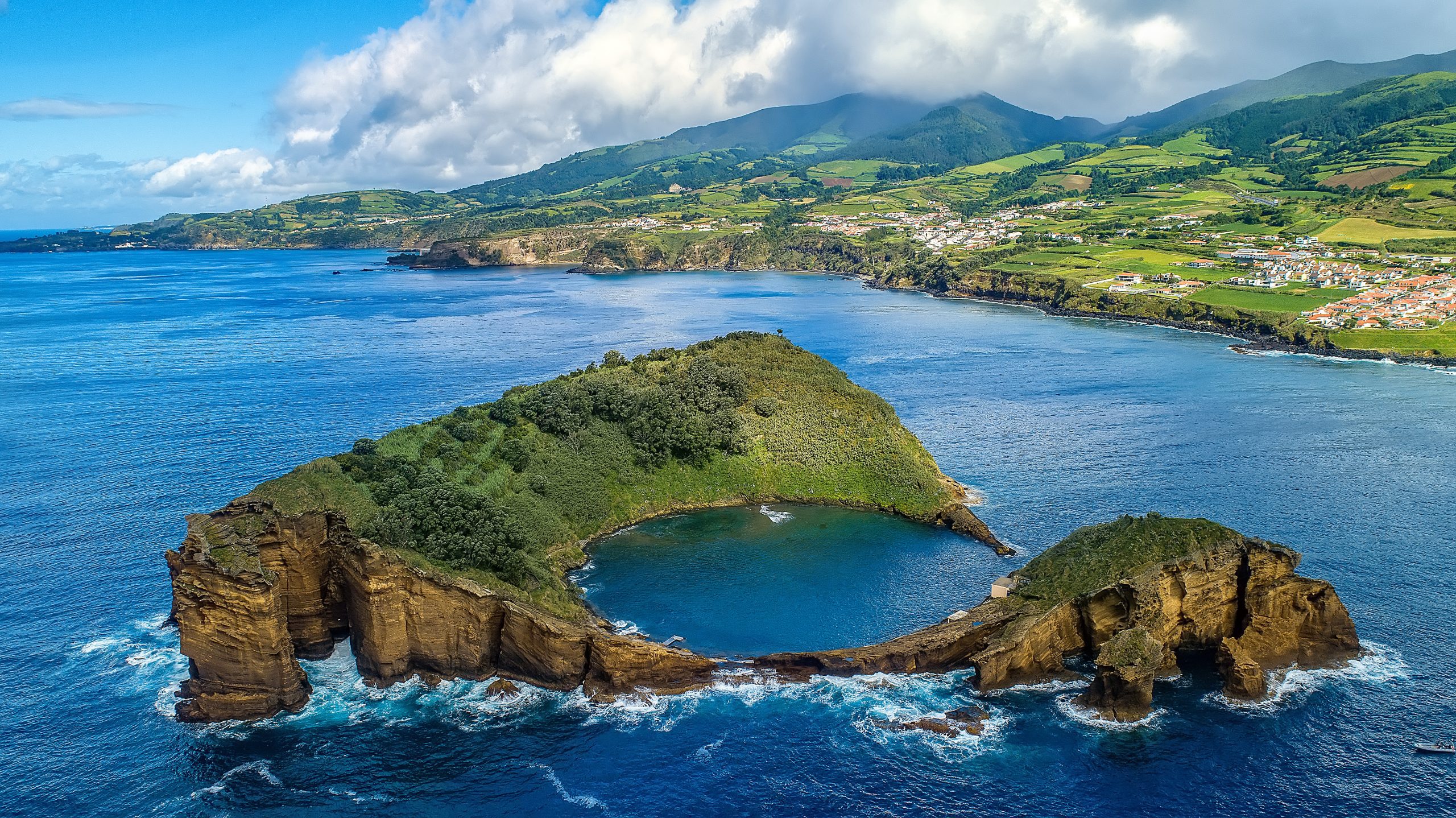
Playa de São Lourenço

La Praia de São Lourenço, en la costa noreste de Santa Maria, es uno de los principales atractivos de la isla, formada por un cráter volcánico semicircular que ahora forma una pintoresca bahía. Rodeada de viñedos tradicionales en terrazas construidas con piedra basáltica, esta playa es totalmente icónica.
Es una de las pocas playas de arena clara de las Azores. Sus aguas cristalinas, normalmente tranquilas, la hacen ideal para nadar, bucear y relajarse. También cuenta con una piscina natural, un lugar tranquilo y pintoresco para bañarse, ideal para los niños.
La Praia de São Lourenço ofrece excelentes infraestructuras para todos los visitantes. La zona de playa dispone de baños, duchas, aparcamiento e incluso un bar local. El Miradouro de São Lourenço garantiza una vista panorámica digna de postal que no se puede perder.
→ Related Post: Las mejores playas de las Azores. Seguir leyendo!
Barreiro da Faneca

Barreiro da Faneca, El desierto rojo de las Azores, al norte de Santa María, es un fenómeno geológico único. Los lugareños suelen llamar a esta zona protegida el ‘Desierto Rojo de las Azores". El suelo árido, rico en arcilla, con intensos tonos rojos y anaranjados, define el carácter del paisaje. El paisaje es ondulado, lo que hace que parezca un planeta completamente distinto.
Allí se puede disfrutar del desierto casi para uno solo, dependiendo de la hora del día y de la estación del año, ya que mucha gente va a Santa María para pasar tiempo en la playa. Además, se trata de una zona bastante pequeña, por lo que una vez que se ha disfrutado de las rojas colinas onduladas y se han hecho muchas fotos, no hay mucho más que hacer.
Barreiro da Faneca es fácilmente accesible en coche, con una carretera que conduce hasta allí. Alternativamente, los visitantes pueden explorar rutas de senderismo como el sendero de la Costa Norte (PR01SMA) o partes de la ruta de larga distancia de la isla (GR01SMA), que atraviesan el paisaje de arcilla roja.
Vila do Porto

Vila do Porto es la capital de la isla de Santa María y está situada en la parroquia y municipio del mismo nombre. Fundada en 1432 por Gonçalo Velho Cabral, Vila do Porto fue la primera ciudad del archipiélago de las Azores. Sin embargo, los colonos fundaron el municipio de Vila do Porto en 1470. Cinco parroquias: Almagreira, Santa Bárbara, Santo Espírito, São Pedro y Vila do Porto - subdividen el municipio.
Así que si está de paso por la isla, no deje de visitar las principales atracciones de Vila do Porto, como:
- Miradouro de São Lourenço;
- Pico Alto;
- Faro de Gonçalo Velho;
- Baía da Raposo;
- Cueva de Figueiral;
- Baía dos Anjos;
- Entre otros.
P¿Está planeando un viaje a las Azores? ✨ Consulta nuestra guía completa de Días festivos en las Azores 2025: Lista completa y guía de viaje
Playa Formosa

Playa Formosa Se encuentra en la costa sur de Santa María. Es famosa por ser una de las pocas playas de las Azores con arena clara que se extiende a lo largo de aproximadamente 1 kilómetro.
Las aguas de Praia Formosa son excepcionalmente claras, cálidas y poco profundas, lo que las hace ideales para nadar y bucear. La temperatura del agua es apta para el baño durante todo el año. Desde el Miradouro da Macela, disfrute del panorama de la playa, la bahía y la costa de los alrededores.
La calidad de sus aguas y sus instalaciones obtienen todos los años la Bandera Azul. La playa ofrece excelentes equipamientos para todos los visitantes, como aparcamiento, duchas y aseos. Un restaurante, socorristas de temporada y accesibilidad total para personas con problemas de movilidad completan los servicios. En un extremo de la playa también hay un camping, que ofrece alojamiento económico con acceso directo a la arena.
Praia Formosa está a unos 10 minutos en coche de Vila do Porto, con fácil acceso. En Agosto, En Praia Formosa se celebra el Festival Maré de Agosto. Se celebra anualmente desde 1984 y atrae a mucha gente de Santa Maria y otras islas.
Consulte todos nuestros artículos sobre cada uno de los puntos de interés más relevantes de la Isla de Santa María: Playa Formosa | Barreiro da Faneca | Cascata do Aveiro | Miradouro Vigia da Baleia | Pico Alto
Información complementaria
Mejor temporada para visitar las Azores
El archipiélago de las Azores cuenta con un clima único que da forma a sus exuberantes paisajes, convirtiéndolo en un destino espléndido durante todo el año. Con temperaturas suaves y fluctuaciones mínimas, cada estación ofrece algo único. La primavera alcanza una media de 16 °C, el verano llega a los 21 °C, el otoño refresca hasta los 18 °C y el invierno sigue siendo suave, con 14 °C.
→ Para un desglose detallado del tiempo por meses, consulta los siguientes enlaces 🌤️☔️: Enero | Febrero | Marzo | Abril | Mayo | Junio | Julio | Agosto | Septiembre | Octubre | Noviembre | Diciembrebrasa
Cómo llegar a las Azores
El archipiélago de las Azores es fácilmente accesible a través de numerosas rutas aéreas. Lisboa y Oporto son los principales puntos de entrada al continente, con vuelos directos a São Miguel (PDL), Terceira (TER), Faial (HOR), Pico (PIX), y Santa María (SMA). Para encontrar el mejor vuelo, utilice motores de búsqueda como eDreams o Skyscanner. Estas plataformas le permiten comparar precios y horarios de varias aerolíneas en un solo lugar.
Para más información sobre cómo llegar a las Azores, consulte nuestra sección guía completa. Pero, ¿y si quiere explorar más allá de su isla de llegada? Nosotros nos encargamos.
- Aeropuertos de Azores 🛬
- Vuelos entre islas ✈️
- Transbordadores entre islas ⛴️
- ¿Qué isla elegir? 🏝️
- ¿Qué compañías aéreas vuelan a las Azores? 🛩️
→ Una vez que hayas encontrado la ruta perfecta, reserva tus billetes y prepárate para conocer uno de los grupos de islas más impresionantes del mundo.
Lo esencial para viajar
Información esencial para su viaje a las Azores: Lengua y frases de las Azores 🗣️ | Moneda y bancos 💵 | Tarjetas de crédito y cheques de viaje 🏧 | Conducir por las Azores 🚗 | Electricidad 🔌 | Experiencias y visitas 🗺️ | Salud y seguridad 🩺 | Acceso a Internet y Wi-Fi 🛜 | Teléfonos y servicio móvil 📞 | Oficinas de Correos y compra de sellos ✉️ | Días festivos 🏖️ | Compras 🛒 | Hora y luz diurna 🕒 | Guía de avistamiento de cetáceos 🐳 | La mejor isla para visitar 🏞️
Herramientas y aplicaciones útiles
El tiempo en las Azores puede ser variable, por lo que resulta útil utilizar algunas aplicaciones antes de visitar las islas. Spotazores ofrece imágenes en directo de las cámaras de las principales atracciones turísticas, lo que le permite comprobar el tiempo y planificar su visita. Para obtener predicciones meteorológicas precisas, utilice Ventoso o Windguru - proporcionan las predicciones más fiables.
Vídeo
Conclusión
Pico Alto es como la corona de Santa María, y no se puede visitar la isla amarilla sin pasar por su punto más alto, de fácil acceso. Ofrece una asombrosa vista panorámica de los diversos paisajes de la isla, desde verdes pastos y pintorescos acantilados hasta pintorescos pueblos, todo ello enmarcado por el océano Atlántico.
Más allá de su belleza, las antiguas erupciones volcánicas moldearon Pico Alto hasta convertirlo en un importante hito geológico. Desempeña un papel importante en el ecosistema de la isla, ya que alberga una flora y fauna únicas. El pico es también un lugar de relevancia histórica, desde las casamatas de radar de la Guerra Fría hasta los trágicos accidentes aéreos conmemorados cerca de la cumbre. Gracias a la ruta de senderismo que lo rodea, podrá descubrir las distintas caras del Pico Alto.
Visitar Pico Alto es imprescindible para descubrir Santa María por completo. Puede incluirlo fácilmente en su itinerario, tanto si dispone de poco como de mucho tiempo.
Nota de los autores
Me complace informarle de que todas las recomendaciones que figuran en este artículo se basan en mi experiencia y observaciones personales. Como autor, he visitado personalmente cada atracción mencionada, lo que garantiza que cada sugerencia se basa en un conocimiento de primera mano y un entusiasmo genuino.
Preguntas frecuentes
Pico Alto es el punto más alto de Santa María, con 587 metros. Se formó por intensas erupciones volcánicas submarinas hace aproximadamente 5 millones de años. Esta elevación capta las nubes que pasan, creando un microclima húmedo que sustenta una exuberante vegetación autóctona, como el brezo de las Azores, y una rara fauna endémica.
Para llegar a Pico Alto, Se puede llegar en coche en unos 17 minutos desde Vila do Porto por la carretera EN1-2A. Para los que prefieran explorar a pie, la ruta de senderismo PRC02 SMA ofrece un bucle de 6,2 km de dificultad media, que proporciona un pintoresco paseo de dos horas por la zona.
Pico Alto tiene un importante peso histórico debido a tres importantes accidentes aéreos ocurridos entre 1945 y 1989. Un monumento cerca de la cima rinde homenaje a las víctimas. Además, se pueden ver casamatas de la época de la Guerra Fría de 1950 construidas por la Fuerza Aérea Portuguesa para albergar una estación de radar, que ahora sirven como transmisores de radio.
Desde la parte superior de Pico Alto, Desde el mirador, podrá disfrutar de una impresionante vista panorámica de la isla de Santa María. El mirador domina verdes prados, densa vegetación y pintorescos pueblos locales. En los días claros, la vista se extiende por la escarpada costa hasta el horizonte infinito del océano Atlántico.